
Every other day or so, when I'm not working or getting a pizza and a beer or two at Caputos in Dry Tavern,
 |
| Chip, Evan and Danielle suggest the calzone and hot pepper cheese balls. And copious amounts of beers at Caputos |
I find myself on the Greene River rails to trail in Rices Landing, either biking or running.
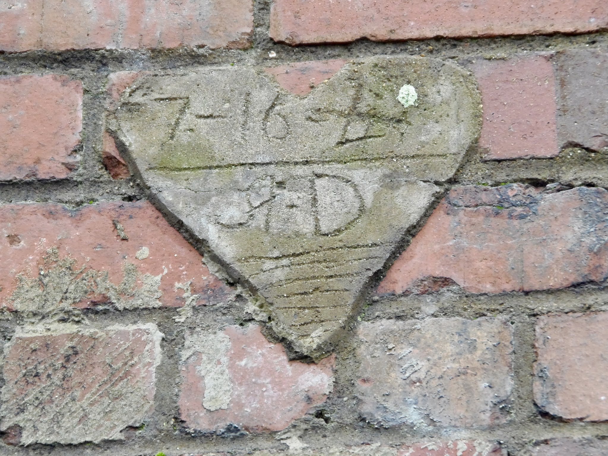
The Rails to Trails, opened for business in the mid 2000's, is a nice little trail that for the moment covers about 5 miles up from the old Crucible mine to the Greene Cove in Millsboro, PA. I did a short video of the trail here, AND, as an added bonus, a Winter Walk here, so you too can vicariously enjoy this trail in all the summer and winter splendor, but I digress. Park in Rices Landing and head towards Millsboro, and you will notice this carved into the hillside.....

(If you only come here in the summer, you might not even see it),
So, If you're like me, you wonder just what that was.
What you look at is the remains of the former Gateway mine.
Gateway, formerly Edward and Emerald, first opened in 1921. It was renamed Gateway in 1963 by a subsidiary of the companies that used its output. The Morgan Township mine closed in 1989.
I never realized that it operated that long, and I drove by it every day commuting to Cal U. it just goes to show that sometimes you take things for granted when they are here.
Anyway.....
I have always wondered just what this looked like
while it was up and running and tonight I found out.
Thanks to the Ten Mile Creek Country blog,
I found a picture that puts my wondering mind at ease.
Once upon a time, we cared about history and heritage and while we biked and ran and walked our dogs on the trail, we passed this....


This was the old barge load out. I admit, when the trail was being developed, there were stairs still in place up into this, and you could climb up and look at the long wooden hallway slope to the river. So I did and was just amazed looking down that long wooden slope towards the river. Of course, I didn't have a camera that day, but I will always remember that day climbing up there. Next couple times I went back, the stairs were gone and the structure, fenced in. And it sat that way for about 6 or 7 years. Then heritage and history (who needs that), took a back seat to public safety, and while biking almost two years ago I came across this....


Resulting in this.....


Scenic, eh?
 So, next time you make your way down the trail from Rices Landing, look to your left at the 1.3 mile marker and realize this.....


 |
| You can see where the load out was along the rivers bend. |
 |
| Beautiful in winter |
 |
| ....and whats under the above picture....pretty neat. |
And this.......


 |
| Looking from the sealed portal to the load out |

 |
| The sealed area where the coal came out.... |
And this......


and this.....

Was once this.......

 |
| From a 1958 air shot |
Pretty cool, eh?
History.
It's fun.
Below are shots taken in 2021
 |
| Old beltway supports |
 |
| Old beltway supports |
 |
| New informational signage. Ruins behind sign |


 |

thank you for doing this. my dad was a miner and i can remember these thing . keep up the postings it is so cool to go back to the good old days. thanks again
ReplyDeleteYou are welcome! We enjoy doing this....!
DeleteThis is like the most fun site on the internet!
ReplyDeleteBuck Wheat Say O'Tay!
Really nice to see these pictures.
ReplyDeleteI really enjoy this site. A good read and I love the pics. My family is from East Millsboro.
ReplyDeleteI'm not sure if it was this portal or not. But thank you for posting these. My grandfather was a miner that worked at Gateway. I've been looking for pictures if it for years, as I've recently become an underground miner myself. Keep up the good work!
ReplyDelete