![]() |
| The author. |
Tuesday, December 21, 2010
On the path under my house to the river. Stringtown, Carmichaels, Pa. and some abandoned coal mines in the hill.
As I begun and ended Christmas shopping yesterday, and successfully put off wrapping until tomorrow, I had a little bit of time today to walk down the path under my house and snap a few pictures. My road in Stringtown, PA (a suburb of Carmichaels), is a dead end road, but after it ends, a trail begins used mainly by us locals for 4 wheeler and dirt bike access to the river. It ends up on the former railroad that terminated in the Nemacolin mines (see earlier post) and is undeveloped. Some have said that there once was a ferry at the end of this path and the stone house I live in (circa 1840 (?)) was in fact the ferry mans house. These are speculations. The pictures show a series of shallow mines that were used for coal a long while ago. Its hard to see in the picture because of the snow, but there is coal still scattered about the entrance to some of these mines. Of course, these are terribly dangerous today, so I dont plan on entering, in fact, in the one picture of the side of the hill, on the left, you can see where the hill has fallen and sealed up an entrance to one that was accessible just last year. The first few pictures were taken a few months back, before the snow and are just some old rail road features.
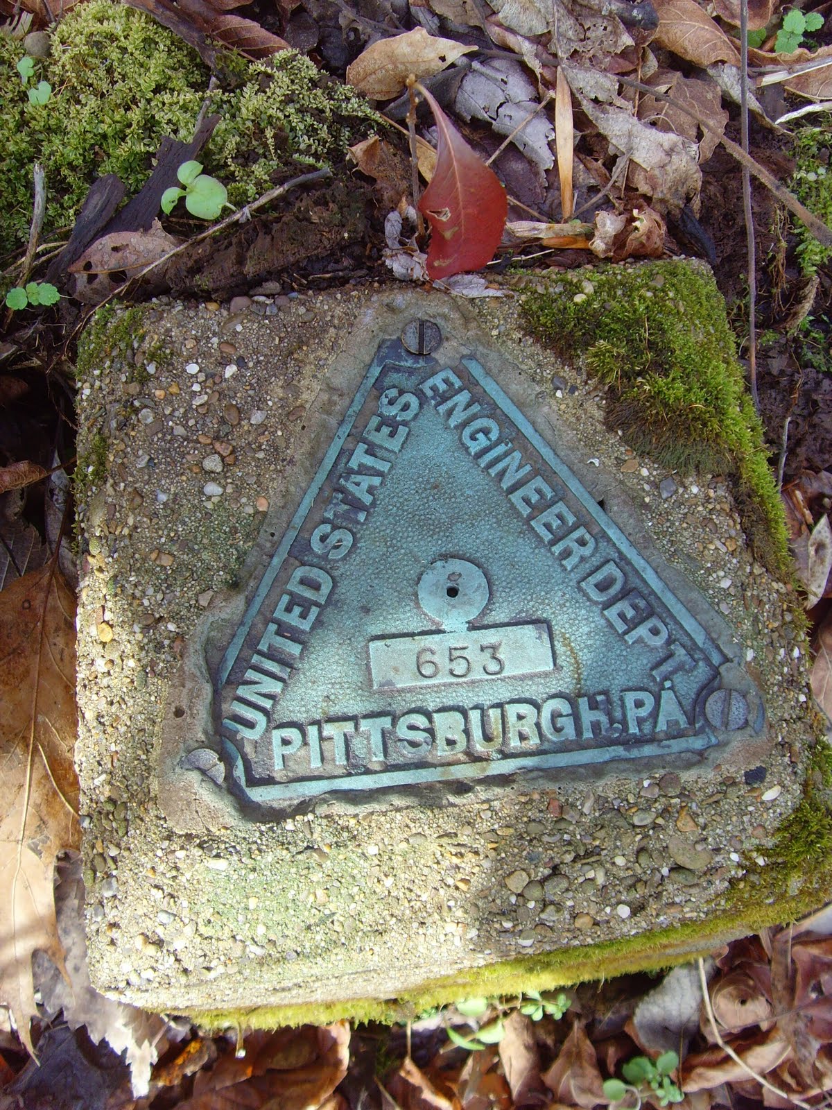
Old forgotten rail road marker. Most likely planted during track construction.


Ice stalagmites!

Under the snow lies coal
Saturday, December 18, 2010
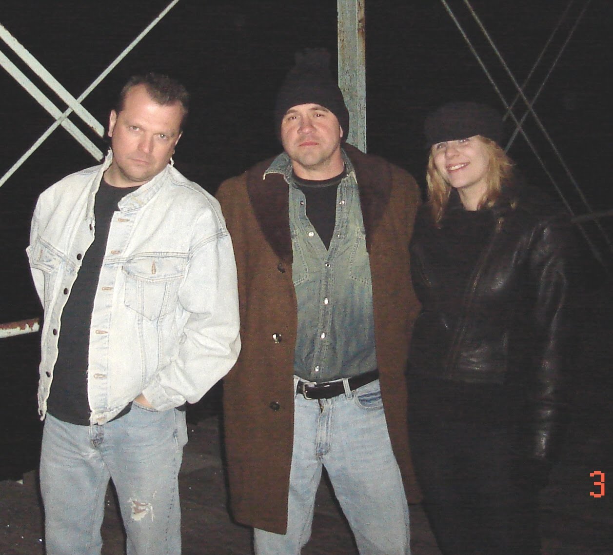
The SWPARE Team
The A-Team??No,much cooler.We do have a van,and we're headed your way! As of today...ETW2 will be co-captain of the blog as well as Young Danielle!Look for more posts,more adventures and more wackyness here on the blog! Follow us,book mark us....love US!!!! We're ready for our close-up Mr.De Mille...
Abandoned Nemacolin Mine. Nemacolin, PA. Part 1 of 4.
A video trip down to the abandoned Nemacolin mine in Nemacolin, Greene County, PA. Check out the rest from this series....
To see a nice birds eye fully interactive map of this mine Click Here For some reason, I can not embed a live map using Safari for Mac. Use the controls on top of map to zoom and rotate.
Nemacolin Mine. Part 2 of 4.
To see a nice birds eye fully interactive map of this mine Click Here For some reason, I can not embed a live map using Safari for Mac. Use the controls on top of map to zoom and rotate.
Nemacolin Mine. Part 3 of 4.
To see a nice birds eye fully interactive map of this mine Click Here For some reason, I can not embed a live map using Safari for Mac. Use the controls on top of map to zoom and rotate.
Sunday, December 5, 2010
Rices Landing Jail
The 85 Flood. Greene County PA


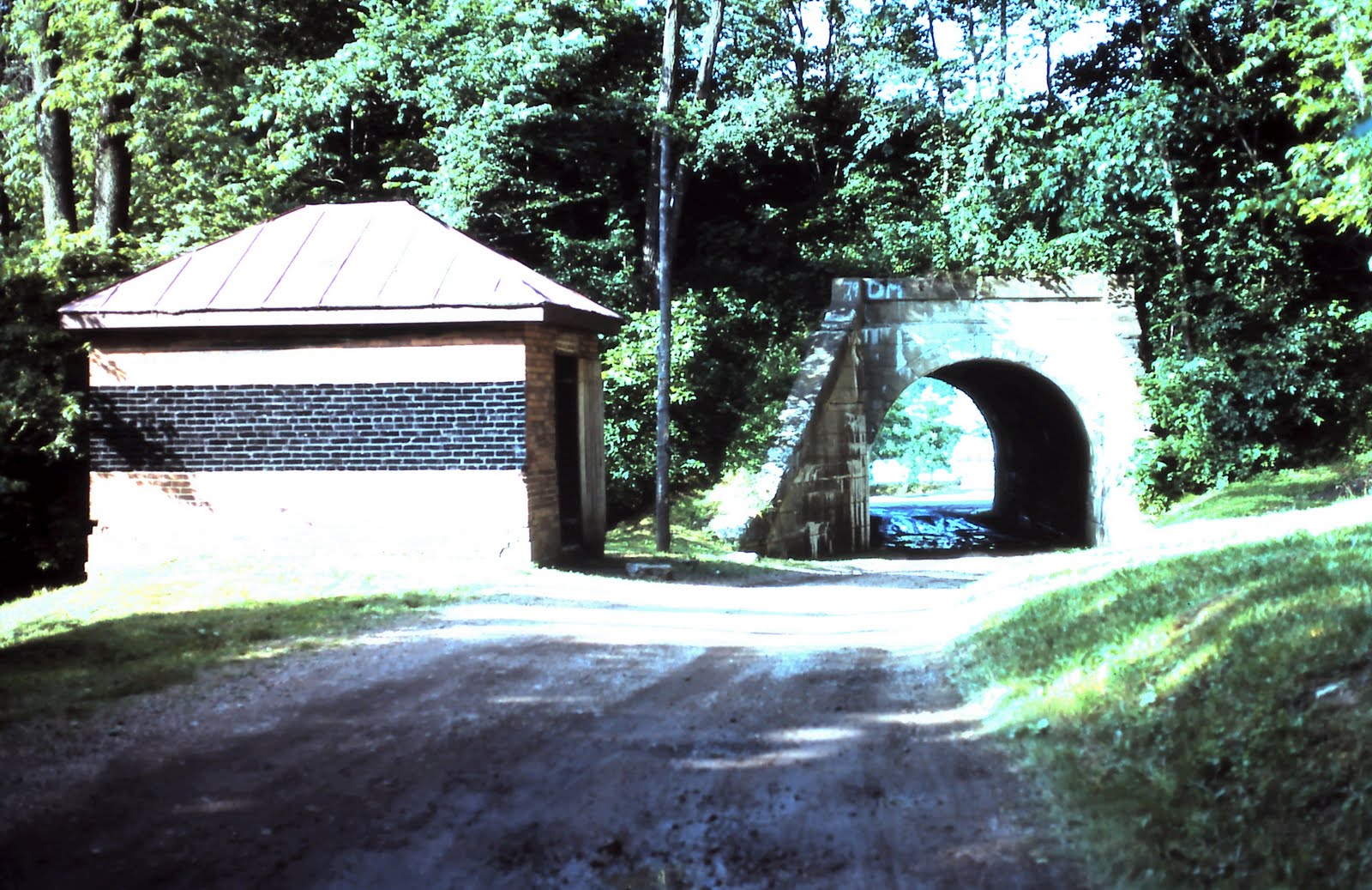
The interesting thing about the flood of 1985 was not only the flood itself,but the fact that the pool (normal level of the river) was lowered to facilitate removal of the runaway bardges that got stuck in the dams.We got to see what the Monongahela would look like if it were not dammed up.In the upper right photo,the original Lock 6 gate can be seen resting in the mud.
These are a mix of prints and scanned 35mm slides from my Dads collection.He worked for the Army Corps of Engineers for 41 years.Needless to say,we didnt see much of Dad in late Nov early Dec 1985!More pix to come...
Subscribe to:
Posts (Atom)