Showing posts with label Greene County PA. Show all posts

Sunday, November 28, 2021

The Monongahela Hotel Rices Landing Pa.

 Back in 2009 I posted some shots of the sign and steps of the old Monongahela Hotel that was located in Rices Landing,Pa. I promised 'more on this soon'...but it took awhile longer than I thought. Sorry about that! Evan and I are trying to bring the old blog back to life, so we will be trying to post some more in the near future. 

  As you will soon see from  MANY upcomming posts, I recently recieved a large ammount of 35mm slides of the Rices Landing area and its events throughout the years. The shots range (mostly) from the 70s and 80s, even into the 90s. I discovered that peppered throughout this collection are some very old shots dating back as far as the 50s. Some are original shots and some are pictures of older photos. They are all amazing and a fantastic look into our local history. 

  I found these photos of the old hotel and figured it would be a good intro into both the revival of this blog and a taste of what is to come. Although Evan and I don't do as much physical exploration these days, a dive into the old photos proves just as interesting. I'll be doing a post on the origin of the treasure trove of photos soon but for now, as promised, more on the Monongahela Hotel.


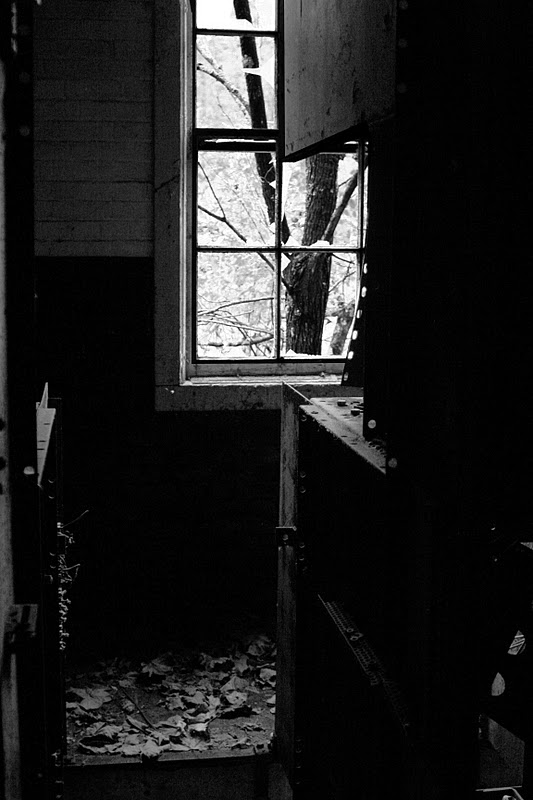
As the sign says, the Monongahela Hotel was built in 1855 and was a three story structure located near the location of Lock 6 on the Monongahela river at Rices Landing. it was near the railroad underpass which takes the road under the former railway ( now rail trail). The road T's to either Millsboro road or Horseshoe Bend...infamous home of Stovepipe! The Hotel was in close proximity to the river, coal mines and the railroad, so I would imagine it saw its share of visitors. Its hard to imagine a town the size of Rices Landing once needed a hotel! I'd love to see some inside shots. Maybe we will find some one day.  


 The sign states the Hotel was built from bricks baked right in Rices Landing. Some of which can still be found in the weeds and dirt along the trail. Although the sign states the hotel was razed in 1957, I believe the shot below was dated 1959..I will double check as my vision isnt what it used to be. Either way, it was gone long before I was born.


 My sister Debbie told me she remembers walking past the Hotel as a child with my aunt, and remembered it as 'creepy'. That would have been in the days close to its destruction, as in the color photo, so her memory is probably pretty accurate. The Hotel was, in her day, a beatuiful building that I'm sad to not have seen. We are lucky to have these old shots to remind us what was once there, which has always been the spirit of this blog, If  I discover any more photos or information I will add it to this post. Stay tuned to the blog for a LOT more Rices Landing content! 


If my Dad were still around, he'd have told us not only about the Hotel, but the car in the foreground!  Listen to those old stories, gang. The people that tell them wont be around forever!

Looking North. Monongahela house on left


 My family and I will be moving back to Rices Lading soon. I can't wait to get back to my home town! A lot has changed in the 24 years I've been gone. 


I'm glad some of it is the same! Stay tuned for more!


Sunday, March 16, 2014

I.N. Dreamer Park. Richhill Township, Greene County


I had first heard of the I.N. Dreamer park a few months ago, while the mayor of Carmichaels was cutting my hair.   You see, in our little town, the town barber doubles as the mayor as well. In between official business and hair cuts, he is full of local knowledge, obscure facts and knows everybody.   So after I voiced my complaint about the giant pothole in front of Gabler's Drug Store, I settled in for a haircut.  

The mayor, Dave Jack at work.  This guy is gonna be on the chair for a while, as I got the barber talking. Once he starts, a 10 minute job turns into 30 minutes....lol


Today's subject was lesser known places as he related a story about him being at a local festival, and him seeing a postcard from long ago, depicting a serene park.  The card, as he described, contained an image of monuments, sidewalks, benches and other park like compliments.  He had never seen this image before, nor heard of the park.  As he continued, it turned out the card was basically an artists rendering of a proposed park in north western Greene County.  Although the park was started, it was never completed as this postcard vision.  I've searched for this postcard image, but to no luck so far.

So last week it was beautiful out.  Danielle and Chip were off and I was in for the weekend, so we decided to deviate from our normal Sunday flea market trip. As Canned Heat might sing, we ended up "going up the country".   Dreamer Park is in the very northwest corner of the county, and in a very isolated spot, so we just picked a random, close address on the GPS and went with that.  We wound our way past old farms, old schools, derelict campers, gas wells, huge mine beltways and lots of cows, stopping occasionally to take pictures of everything and nothing.


  As we unknowingly approached the spot, we ran into the second coming of the industrial revolution, in the form of a new giant gas compression station up on Majorsville Road. Greene county is indeed the Saudi Arabia of the natural gas world, some would say.

I missed a turn or 3, ended up lost, hit a bump and spilled the Gatorade, so pulled over and Chip and Danielle got out to take some pictures of an old bridge, while I searched the dwindling cell service  for directions I saw on once on some antiquated Geocities site.  As our luck would have it, the bridge we were stopped at was the key.


Cross this bridge, then you are almost there.


  We were only a quarter mile away.   We rounded a curve and saw this.


"There it is" we all said at the same time.  As I mentioned earlier, there is an awful lot of gas drilling activity in our area, and a rather fresh road to a well bordered our park so we drove on up.

Back in the 1930's, Isaac Dreamer visioned a park where he could honor the people who served this country, and began plans and work for this park. Dreamer's Park would honor those fallen and those who had served in the 4 wars that we had fought at this time.  The Revolutionary War, The Civil War, The Spanish American War and The World War.  You have to remember, this last one was the war to end all wars, and at the time of the erection of the monument, the second world war wasn't invented yet, so to speak.


The most stunning and awesome sight in this remote park is its center obelisk.  A 35 foot granite memorial was shipped from Vermont, all 55,000 pounds of it.  On top, an eagle with outstreched wings watches over the park, his wingspan over 4 feet.   All four sides of this massive monument honor the 4 different wars.


Four cornerstones define the border of the park, one for each branch of service:  Marines, Soldiers, Sailors and Nurses.


Chip.  He's a nurse, ya know.

The park was dedicated in 1935, in front of a gathering of 500 people. It's hard to imagine 500 people up here in this remote location, watching a monument being dedicated, especially in the 30's, but times were different then. 


  From there, things went south.  Isaac Dreamer died in 1935, and was laid to rest in the little cemetery up near the monument with his family.


 Although money was set aside for the perpetual care and upgrade of the park, his will was contested, and the big dream Dreamer had was never realized.  The money set aside for the expansion and upkeep of his park went to the family instead.   The county got the property back via a donation from the remaining family in 1966, rededicated in 1969, then fell in to virtual obscurity from then on. From what we are told, the park is maintained by the Rose Hill Garden Club and the Richhill Township supervisors these days. The really cool thing about this park is that it is located in the extreme north west corner of the county you could probably throw a stone and hit Washington county, throw one west and hit West Virginia.

Its pretty great that people still care enough to upkeep this park, and their care is evident.  The area looks weeded and mowed (despite the winter), and new flags are placed around the monument as well.


It was a great trip and we got lots of new ideas for a return visit. 


To get a better idea of the layout of the park, take a look at the video below.


Then, you can check out this video, from our friend and fellow explorer and Greene County judge, Farley Toothman.  He also visits the sheep and fiber fest in the town of Waynesburg in the beginning of his video.


Planning a visit?  Great!  We encourage you, I bet this place is exceedingly beautiful in the spring and summer.  Check out the interactive map here!  It will open so as that the park is in the center.


Some bonus video above

Sunday, November 6, 2011

Hartley Shaft - Part of the Robena Mine, Carmichaels, PA.

The remains of the Hartley Shaft of Robena Mine are located right off the side of Ceylon Road. The groundclearing for this shaft begain around 1943 and all buildings were completed around 1948/1949. The offices and bath house were located on the left. Attached to the bath house by a shed-type roof was waiting arean and enclosed elevated walkway that led to the elevator. The two buildings to the right housed 2 MG sets (in the left side) and the other housed the switch gear for incoming AC power.


The building on the right, now.

Inside the bath house

Grafitti in the bath house

Grafitti in the bath house

Where the fan funneled air

What's left of where the elevator was
How the air rounded the bend from the fan


The Bath House


Collapsed elevator on left

Elevator remains (center), w/ the ramp leading to it on the left


A local inhabitant
Before...Elevator from above pictures standing tall and new (thanks to Lonnie Miller's Robena book for the photo)
And now.